
Tags
Bushey Coombe, Glastonbury, Glastonbury Antiquarian Society, Glastonbury Tor, Gog and Magog, Mendip District Council, Norwood Park Farm, Paddington Farm, Paddington Farm Trust, Somerset Levels, Somerset Moors, Stone Down Hill
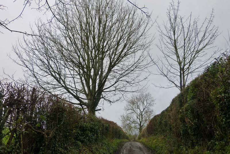
The weather forecast yesterday afternoon indicated that there should be two hours when I could get out for a walk without getting drenched, so I grasped the opportunity with both legs – while covering the rest of me with a waterproof just in case. To the bottom of my road first, where I was not surprised to find that the nearest bit of the Somerset Levels (technically Somerset Moors here) due south was waterlogged, as it frequently is at this season. Up Cinnamon Lane to the very busy National Freight Route A 361, east-west at this point, crossing which involves taking your life in your hands. But there is no alternative if one wants to walk up or – as I did yesterday – around Glastonbury Tor.
 In essence my walk was to be a clockwise circumnavigation of the Tor, which is 158 metres at its highest (plus tower), and Stone Down Hill. The waterlogged fields were at about 5 metres above sea level, and my walk took me to about 50 metres maximum. Higher ground was to my right and lower to the left.
In Wellhouse Lane this is to be seen on the side of one of the few houses there. Off left onto Lypyatt Lane, with a right and backward glance to the Tor and its tower, the only remaining part of the 14th century St Michael’s Church, of which the rest was demolished at the Dissolution of the monasteries in 1539. (An earlier, wooden, church was destroyed in an earthquake in the 1275.) Read more here.

From which you can see that there is an easy and a hard way up the Tor
Lypyatt Lane


A glimpse to my left of the tower of St John’s Church

and more of the town of Glastonbury

On the bank to my right

Bushey Combe

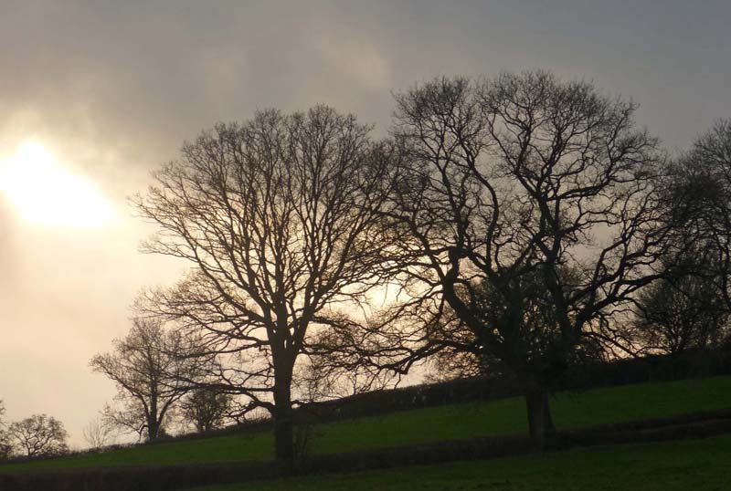
Occasionally the low-lying sun came out, giving splendid effects, straight ahead of me this time

But mainly the weather was gloomy

No doubt a badger track up the bank

To my left is now pretty well due north, towards Wells

Rain coming in from the Mendip Hills? Fortunately it turned out just to be hanging cloud.
 My walk next took me through Paddington Farm which is a working organic farm providing free educational facilities, especially for disadvantaged children.


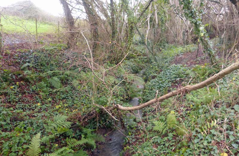
Once past the buildings, I left farm tracks for very soggy fields.

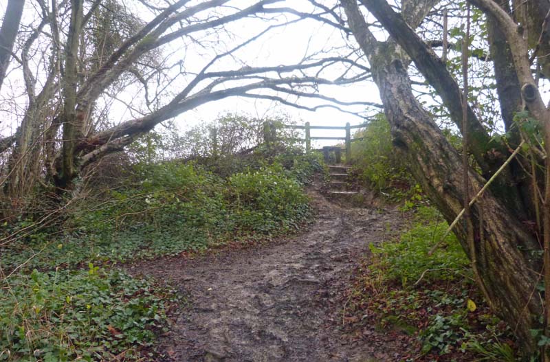
The last stile

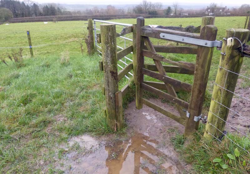
Kissing gates from now on – thank you Mendip District Council

Gog…

… and Magog

The two small cottages are called Gog and Magog too.
Norwood Park Farm is now a dairy farm. The house is Grade II listed, and was built in 1457 for the privacy and sport of the Abbots of Glastonbury. They had it alright, abbots, in those days.

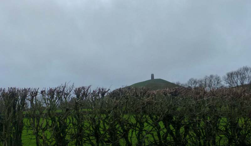
The top of the Tor peers over Stone Down Hill

West Pennard over to my left
I’m drawing nearer to the Tor again
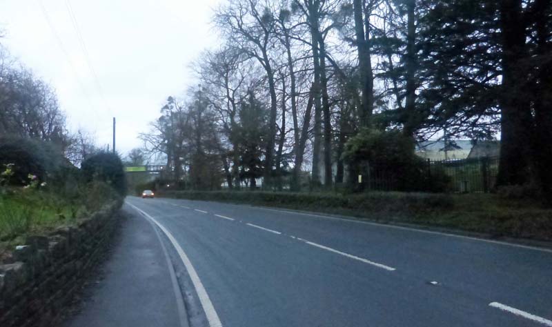
Unfortunately, 6 minutes of this circuit involve walking back along the aforementioned noisy and busy A361, at the point at which it goes alongside Millfield’s Preparatory School. Needless to say, traffic does not respect the 40 and 50 mph speed limits. 

 The children have a bridge they can use to cross the road, but this is not accessible to the general public as far as I know, and once more I took my life in my hands.
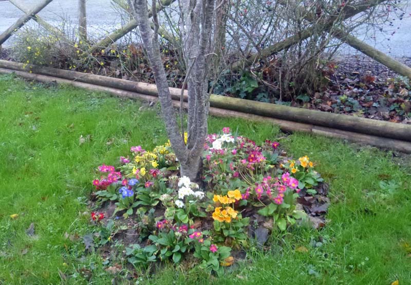
 Once over I was able to look back to my right for a further view of the Tor, and then I noticed, not for the first time, that spring seems to be well advanced. (Or winter never really came, though there’s plenty of time yet.)

 Over to my left, to the south, as I embarked on the last few minutes of my walk, I could see the Polden Hills, the lowest range in Somerset.
  And of course, the Tor was still to my right.Those last few minutes of my walk were pleasantly prolonged as coming in the other direction was my friend Neill, custodian of the Glastonbury Antiquarian Society’s website. He entertained me with an account of the earliest local excavations of the Tor, by one John Skinner, in the early 19th century. Extracts from Skinner’s Journal here.
 While we chatted it started, and stopped, fine drizzling.
 When I set off again, a yellow helicopter circled for a minute or two,
 I passed a huge bonfire,

Two men were standing by…
and I took a final look at the Tor between two of my neighbours’ houses. It started raining shortly afterwards as night fell.

I enjoyed going with you on your walk without leaving the comfort of my living room. The Spring flowers were a surprise. Well done for crossing such a nasty road not only once but twice!
LikeLiked by 1 person
There’s a campaign locally to downgrade it, and make freight go to and from the south-west by another route. The A361 crosses the town, which means that so do enormous lorries, at times just a few feet from the walls of houses, and so people’s bedrooms.
LikeLike
Well done for seizing the moment. Your soggy fields look much like ours. I hope that you get better walking conditions soon.
LikeLiked by 1 person
It seems such a very long time (summer 2014?) since we were surrounded by a really warm, dry atmosphere.
LikeLike
Summer 2014 was a great time. We remember it fondly in these dark days.
LikeLike
🙂
LikeLike
That must have been quite a long walk! Particularly liked the picture of the tree with shiny trunk, bright green moss and foliage around.
LikeLiked by 1 person
About 4.5 miles I reckon. My knees let me know during the night!
LikeLike
Ah, ces beaux arbres, sous des lumières différentes. En Bretagne, les mimosas sont en fleurs depuis la mi-décembre…
LikeLiked by 1 person
I wonder if winter is going to escape us entirely this year, (or is it we who may escape winter….?)
LikeLike
Oui… mais ce n’est pas forcément un bienfait !
LikeLike
Je suis d’accord !
LikeLike
How nice…. Really enjoyed that, felt like I was having a jolly with you…. Next time maybe we could do that walk…. Muy bien. Me gusto mucho…. Seeing as we are going foreign….
LikeLiked by 1 person
It will be my pleasure.
LikeLike
Vicki just shared this page – you have a pic of my house
The one with the mural…
LikeLike
I hope you’re happy about that.
LikeLike
Looks lovely! Cinnamon Lane is one of my favourite walks, but I don’t think I’ve ever done a circumnavigation of the Tor – I’ll have to try it next time I’m in Glastonbury.
LikeLike
Glad to have inspired you. Would be even better on a sunnier day.
LikeLiked by 1 person